Assessment | Good management practices
Geographic Information System for Industrial Areas
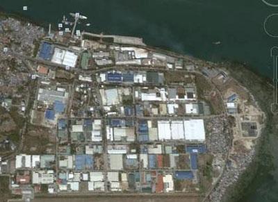
© GIZ, PEZA
The implementation of the Eco-Industrial Development (EID) approach in industrial areas requires comprehensive information. This includes technical data to be stored in a database as well as geographical information to be stored and handled in a Geographical Information System (GIS). Because of the technical data and geographical information, a GIS also addresses environmental and safety officers concretely. Purposes of a GIS are:
- Visualization of information stored in a database in a spatial context: e.g. presentation of the performance of the industrial area with regard to environmental qualities; status of utilities (STP interconnection, power lines etc.)
- Facilitation of planning and management in the economic zone: e.g. with regard to disaster risk management (spatial display of relevant infrastructures, display of specific risks, risk analysis).
- Support of investment promotion: e.g. display of vacant lots and their features on a platform accessible for potential investors or companies.
Main features and components
Due to time constraints of the project GIS was not established in PEZA’s industrial areas. Hence, practical experience is lacking. However, the materials provided cover the following topics:
- General purpose and organization of a GIS for an industrial area in the organizational context of the Philippine Economic Zone Authority – can be adapted to other frameworks
- ToR for a service provider for establishment of a GIS and delivery of basic capacity development measures for the staff responsible for GIS operation
- Template for a standard data catalogue for an industrial area
- Template for standard reporting functions based on the standard data catalogues and – in this case – the information available from self-monitoring reports of companies; can be adapted
- Outline for a basic capacity development course for GIS operation staff
Implementation and work steps
- Identification phase: scope of GIS, available resources (information, basic data, staff, infrastructure (hardware) and finances,
- Formulation phase: definition of ToR for service providers, work plan, team, responsibilities and access rights etc., contracting
- Implementation phase: system building, acquisition of data, monitoring, capacity development, test runs
- Operation
Output
- GIS
- Capacity Development for Staff
Downloads
Outline for PEZA GIS.pdf
Document
ToR for PEZA GIS.pdf
Document
Annex 1 ToR Standard Data Catalogue PEZA GIS.pdf
Annex 2 ToR Report Catalogue PEZA GIS.pdf
Annex 3 ToR Capacity Development Course Characterisation PEZA GIS.pdf
Characteristics
Phase of intervention
Operating SIA, Management
Level of intervention
Park management
Regions
Asia
Countries
Philippines
Target groups
Industrial area management and operator, Municipality
GIZ project
Developing a Management Approach for Eco-Industrial Development in Philippine Economic Zones